

LT15-16 COUNTY ROAD 1 N/A WGreater Napanee, ON K7R 3L1
Mortgage Calculator
Monthly Payment (Est.)
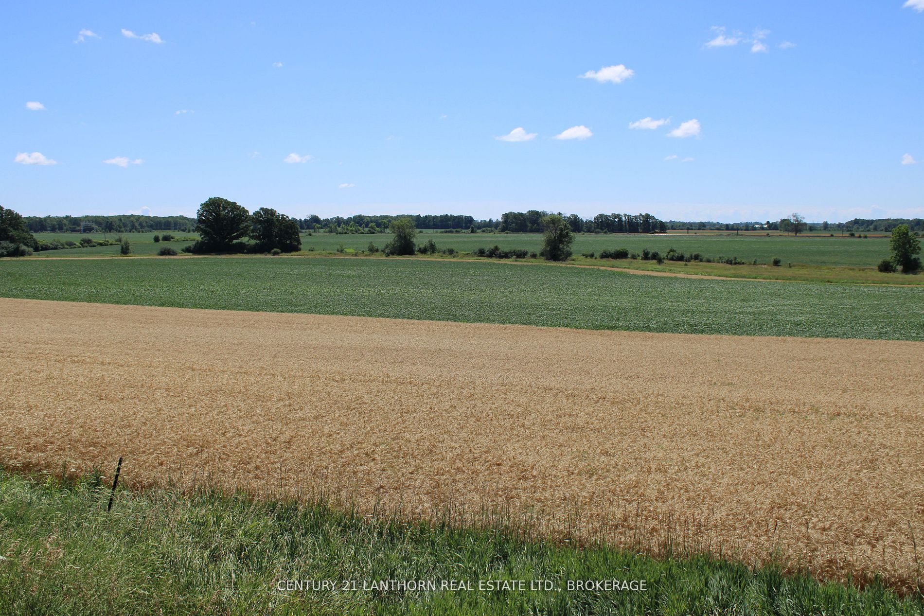
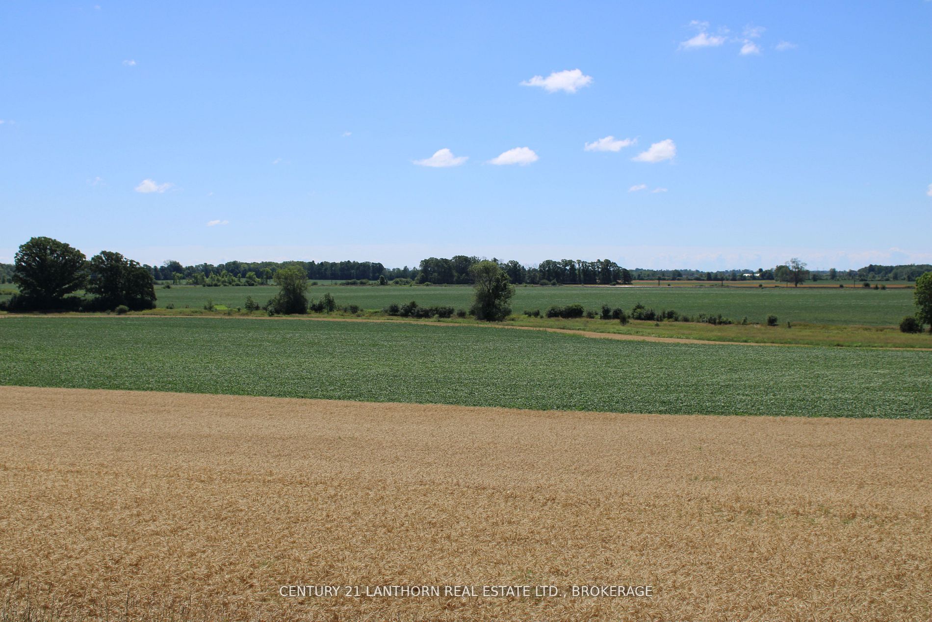
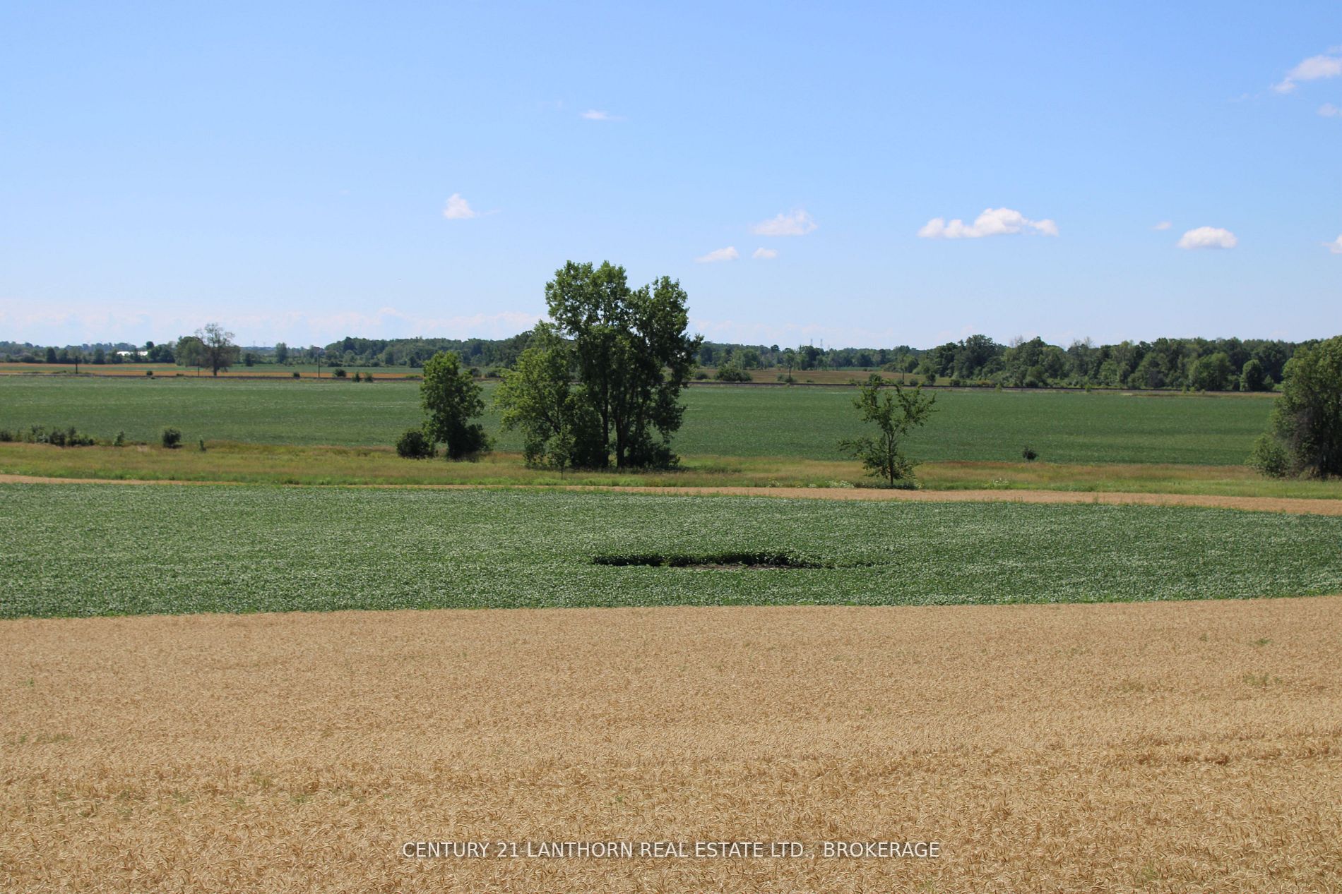
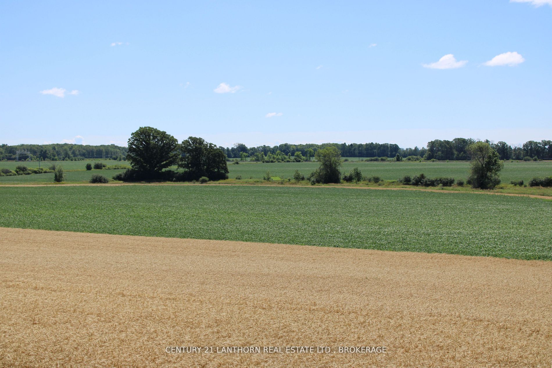
Enter an interest rate to see your estimated monthly payment.88 acres inside Greater Napanee's urban boundary - a contiguous land position of a size and location that rarely comes to market. Identified within the Strategic Growth Secondary Plan Area on Schedule A of the Town's updated Official Plan, adopted July 28, 2026 and subject to County of Lennox & Addington approval. A secondary plan will shape the area's roads, servicing and densities, and owners in place beforehand are the ones at the table for it. A completed Schedule C Environmental Assessment recommends three new arterial roads; the alignment connecting Cherrywood Parkway to County Road 1 at Jim Kimmett Boulevard crosses this property. Development is underway on lands to the south, across the CN rail corridor. Farmed by the owner and in active agricultural production today. A creek winds through the property. Frontage on County Road 1. Services are not available; the Town's $88M Water Pollution Control Plant expansion, operational 2028, is estimated to add servicing capacity for up to 4,000 additional homes and businesses. The existing designation remains in force pending County approval, and secondary planning and rezoning would precede any development. Buyers to satisfy themselves as to designation, zoning, servicing, watercourse regulation, road alignment and site conditions.
| 3 weeks ago | Listing updated with changes from the MLS® | |
| 6 months ago | Listing first seen on site |

Listing information is provided by Participants of the Toronto Real Estate Board. IDX information is provided exclusively for personal, non-commercial use, and may not be used for any purpose other than to identify prospective properties consumers may be interested in purchasing. Information is deemed reliable but not guaranteed. Copyright 2026, Toronto Real Estate Board
Last checked 2026-10-11 11:35 PM UTC